Lots of changes rolled up into one blog
Here are the bug fixes and enhancements for Version 9.2.5.0
- Core code for adding places built – working off a small database of those changes that have been made over the past however many years. This is the bit of code that updates all the place and link databases with the new place and keeps a log so that it can be undone if found to be faulty. This works really well – it’s quite astonishing the first few times when you add a new place and it instantly is available to the drop down place selector and appears in the gazetteer. The next step is to add the “moderation” (it’s a form of retro-moderation) for these. Then the backlog can be added and moderated (there is, I’m afraid to say, a lot of good-intentioned rubbish in there), and then a front-end for the new system (but clearly made almost entirely of the old code) added.
- New places are now listed in the moderation display.
- Review changes link shown only for users with “moderator” status
- And moderation script will only run for them
- Can now accept changes as well (but not anything else!)
- Half a dozen new places now live in the database as a result of testing
- New “simple” wiki mode added for things that can’t include markup
- Place names can be edited
- New photo mode for gazetteer to show all photos in-line
- Editing of photo captions from this mode
- Support for photo caption changes in moderation
- Size of place added to gazetteer information
- Size of place field made editable
- Improved dimesionsions printing – added metres and inches All waterway dimensions were wrong! Fixed thme with new db script
- Basic “edit details of place” code added
- A new phase of the moon – both new C code to support it, and a new set of graphics created. The old “moongif” has been ripped out of the code base.
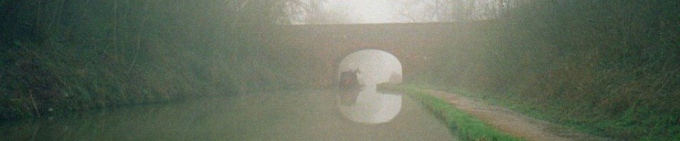
- Fixed a bug (added new code to route.c) in the waterways gazetteer where some canals came out with each leg in the wrong order (the B&F was one) and so also didn’t have their ends correctly described.
- Lock count in waterway gazetteer now works
- Place size descriptions are out by one
- Stray comma in wikiedit javascript (broke IE)
- Can no longer edit when not logged on (old testing hack removed)
- Moon made slightly smaller on index page
- A bit more padding on the left of the main box on the index page
- Fixed a bug where visiting the index page with an active but vague session caused a Javascript error
- Added a simple statistics (just place count) to index page
- Dodgy data made planning routes along the GU impossible.
- There’s a message about this being the development version on the index page
- Logging all SQL (to allow keeping multiple databases synchronised) was inefficient, and didn’t cope with (for example) adding photos. So I started to implement a new transaction system using a mini-language that can be acted on and written for later import.
- Doing this I hit a long-standing design flaw in the language: because I use () both as list delimiters and for expression grouping, single item lists tend to turn into atoms of the appropriate type. To fix this I:
- Defined a new pair of characters that act as list delimiters only
- Added some limited UTF-8 handing in the source code to allow me to use sloping double quotes (AltGr-V and B) for this purpose
- Added traditional multiply and divide (AltGr-< and >) operators as a test while developing it
- Quicksearch on home page now preserves session IDs
- Transaction writing now works for new places
- And for adding photographs (complicated as it’s in three phases)
- And for moving photos